
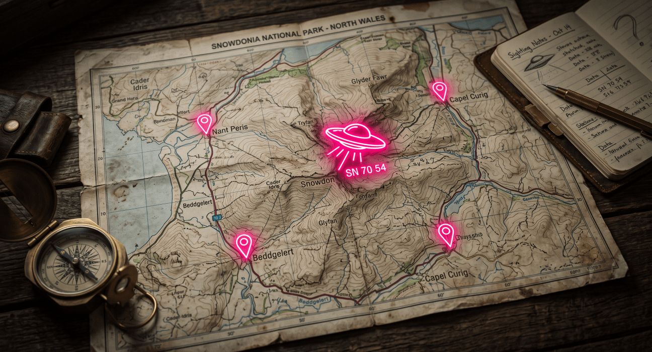
Humanity has been staring at strange lights in the sky long before the term “flying saucer” entered the cultural lexicon in 1947. What once lived solely in grainy polaroids, midnight radio call-ins, and dog-eared paperback journals has evolved into a serious, global phenomenon backed by pilot telemetry, infrared radar captures, and institutional investigations.
Whether you consider yourself a hardened skeptic, a seasoned field researcher, or someone who simply likes keeping one eye fixed on the night sky, patterns begin to emerge when you look at the raw geography of the unexplained. Certain desert valleys, coastal flight paths, and mountainous ridges have hosted recurring waves of silent triangular craft, luminous orbs, and metallic discs for decades.
This interactive map logs documented UAP (Unidentified Anomalous Phenomena) encounters across the United States and international hotspots. Use the map above to zoom into your region, browse the alphabetical registry, and investigate what witnesses have logged in your neck of the woods. Keep looking up!
Explore the Map📍
UFO Sightings Map (A–Z)
Loading radar...
Use the interactive map above to navigate the coordinates, filter through the alphabetical case registry, and investigate the landmark close encounters documented across the globe.
Check out other maps here.


Leave feedback about this